GPS
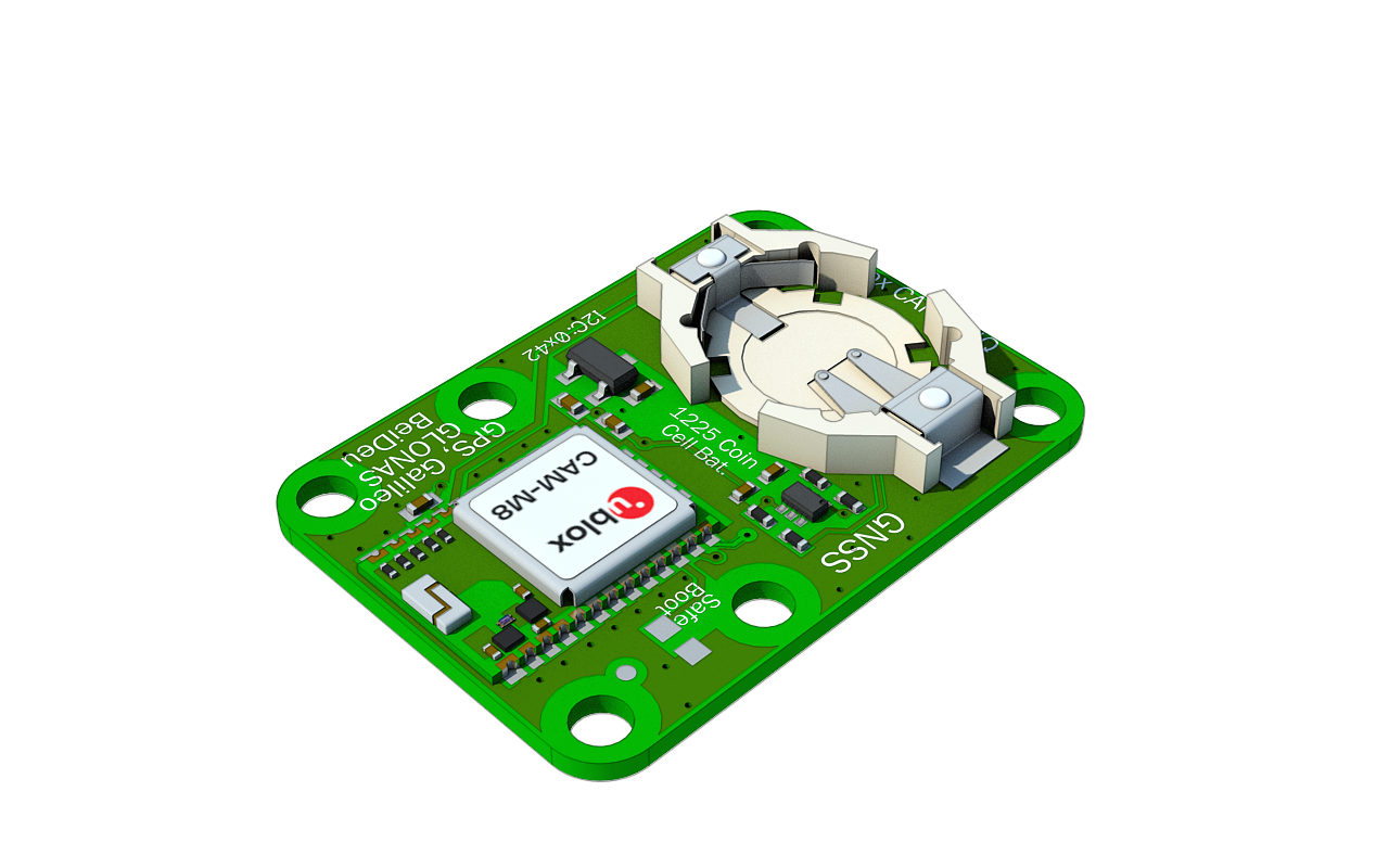
The GPS module receives the position (longitude/latitude/altitude) of the senseBox. This can be used for mobile applications, e.g., mobile data transmission to the openSenseMap. This sensor is compatible with common GNSS systems (GPS, QZSS, GLONASS, BeiDou, Galileo) and is based on the u-blox CAM-M8Q Multi GNSS module.
GPS Modul
The GPS sensor is connected to an I2C port.
Technical Details
- "Plug-in-and-Go" senseBox compatible through breakout board with JST connector
- Simultaneous reception of GPS, QZSS, GLONASS, BeiDou
- Navigation sensitivity of –167 dBm
- Receiver: 72-channel u-blox M8
- Update rate: Single GNSS - up to 18Hz, Dual GNSS up to 10Hz
- Power consumption: 30mA in continuous operation or 10mA power save mode 1Hz at 3V
Connection
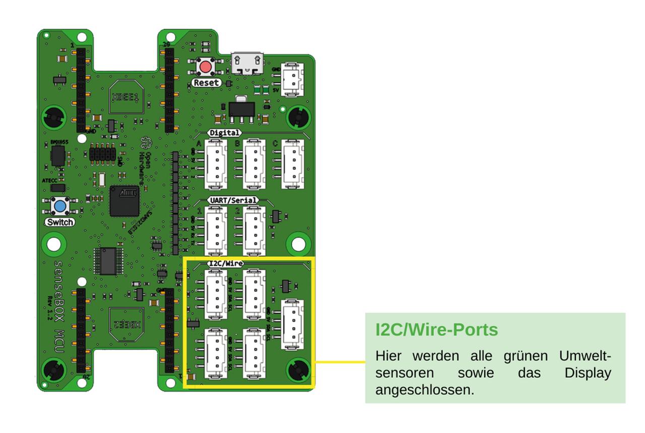
Die Komponente wird am I2C Port angeschlossen.
Programming (Arduino)
Software Library
To program the sensor in Arduino, you need to install the software library SparkFun u-blox GNSS Arduino Library.
Code
This code stores the values for latitude and longitude in the variables latitude and longitude.
#include <senseBoxIO.h>
#include <SparkFun_u-blox_GNSS_Arduino_Library.h> // http://librarymanager/All#SparkFun_u-blox_GNSS_Arduino_Library
#include <Wire.h>

SFE_UBLOX_GNSS myGNSS;
float latitude;
float longitude;
void setup() {
  Wire.begin();

  if (myGNSS.begin() == false) //Connect to the Ublox module using Wire port
  {
    Serial.println(F("Ublox GPS not detected at default I2C address. Please check wiring. Freezing."));
    while (1);
  }

  myGNSS.setI2COutput(COM_TYPE_UBX); //Set the I2C port to output UBX only (turn off NMEA noise)
  myGNSS.saveConfiguration(); //Save the current settings to flash and BBR
}

void loop() {
  latitude = myGNSS.getLatitude();
  longitude = myGNSS.getLongitude();

}
Programming (Blockly)
In Blockly, the sensor can be read using the following block:

In the block, you can select between the different parameters of the GPS module:
- Longitude
- Latitude
- Altitude
- Timestamp (RFC3339)
- Speed
- Date
- Time